Essential Checks Before Purchasing Vacant Land
Discover critical due diligence steps to avoid costly mistakes when investing in undeveloped property for your dream build.
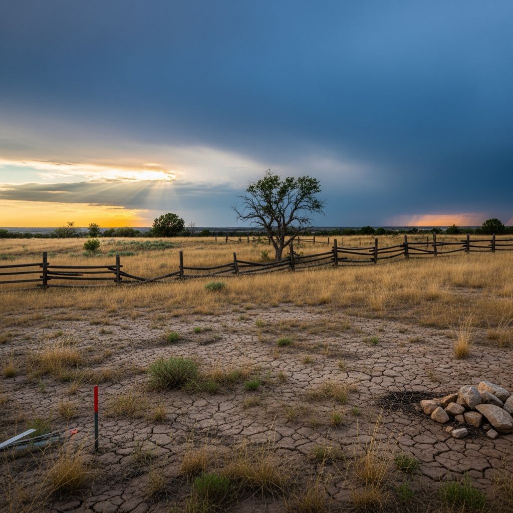
Acquiring undeveloped property represents a significant opportunity for future development, whether for residential construction, farming, or recreation. However, the absence of structures can conceal numerous hidden challenges that could derail your plans. This comprehensive guide outlines key investigative steps to ensure your purchase aligns with your vision and budget. By prioritizing thorough research, buyers can mitigate risks associated with legal restrictions, physical limitations, and unforeseen costs.
Defining Your Objectives for the Land
Before diving into property specifics, clarify your long-term goals. Do you intend to construct a primary residence, a vacation home, or perhaps subdivide for multiple uses? Consider factors like desired acreage, proximity to urban amenities, soil suitability for agriculture or building foundations, and level of seclusion versus accessibility.
Matching land characteristics to your needs prevents post-purchase regrets. For instance, expansive rural parcels demand more maintenance, while smaller lots near cities may face stricter regulations. Develop a prioritized list: essential features first, such as reliable water sources or high-speed internet, followed by desirable ones like scenic views or gentle topography.
Evaluating Legal Access and Road Connectivity
Legal access forms the foundation of any land transaction. Confirm whether the parcel connects directly to a public road or relies on private easements through neighboring properties. Public road frontage guarantees unobstructed entry for vehicles, emergency services, and utility installations.
In rural settings, landlocked parcels pose substantial hurdles. Negotiating an easement with adjacent owners requires formal agreements, potentially involving legal fees and ongoing permissions. Verify existing rights via title reports and consult local authorities on road maintenance responsibilities. Poor access can inflate development expenses, including paving private drives or installing gates.
- Inspect all approach roads for condition, width, and public status.
- Review county records for any access disputes or revocations.
- Assess emergency vehicle maneuverability on site.
Understanding Zoning Classifications and Permitted Uses
Zoning dictates what activities are allowable, profoundly impacting value and usability. Residential zones may prohibit commercial ventures, while agricultural designations could limit home sizes or accessory structures. Investigate overlay districts for additional rules on wetlands, historic preservation, or noise levels.
Contact the local planning department early to review current zoning maps and future comprehensive plans. Some areas anticipate rezoning that could enhance or restrict options. Homeowners associations or deed restrictions might impose further covenants, such as architectural styles or livestock bans.
| Zoning Type | Typical Allowed Uses | Common Restrictions |
|---|---|---|
| Residential (R-1) | Single-family homes | No businesses, limited outbuildings |
| Agricultural (A-1) | Farming, large homes | Minimum lot sizes, no subdivisions |
| Commercial (C-1) | Retail, offices | High traffic, signage limits |
Assessing Utility Availability and Infrastructure
Utilities represent a major expense if not already present. Determine if municipal water, sewer, electricity, natural gas, and broadband reach the site. ‘Available in the area’ differs from ‘on the property,’ with extension costs potentially reaching tens of thousands.
For off-grid preferences, evaluate well feasibility via groundwater maps and percolation tests for septic systems. Solar viability depends on southern exposure and minimal shading. Propane delivery suits remote spots but requires tank installations.
- Request utility provider quotes for connection estimates.
- Check for underground lines via 811 locate services.
- Factor in annual fees for services like trash removal.
Conducting Thorough Property Surveys and Boundary Verification
A professional survey is non-negotiable, delineating exact boundaries, easements, and encroachments. Recent surveys, marked with pins or monuments, provide confidence; older ones may require updates due to shifting landmarks.
Banks typically mandate surveys for financing. Walk the boundaries with the seller to note fences, trees, or structures that might infringe. This step uncovers discrepancies between listings and reality, preventing neighbor conflicts.
Investigating Topography, Soil, and Environmental Hazards
Physical attributes dictate buildability. Steep slopes demand costly grading and retaining walls, while wet soils signal drainage issues or wetland protections. Soil tests assess percolation for septics and compaction for foundations.
Flood zones, per FEMA maps, require elevated structures or insurance premiums. Erosion-prone areas need stabilization measures. Visit during rain to observe water flow and standing puddles.
- Obtain elevation certificates for flood risk.
- Review NRCS soil surveys for classifications.
- Inspect for sinkholes, rock outcrops, or invasive species.
Reviewing Title, Liens, and Financial Implications
A clean title ensures no outstanding liens, judgments, or unpaid taxes cloud ownership. Title insurance safeguards against defects. Calculate holding costs: property taxes vary widely, and insurance protects against liability.
Budget for closing fees, surveys (typically $500-$2000), and percolation tests ($300-$1000). Raw land loans carry higher interest and shorter terms than improved properties.
Anticipating Development Permits and Regulations
Building permits hinge on compliance with codes for setbacks, heights, and environmental impacts. Rural areas might enforce larger setbacks or impact fees for infrastructure. Consult contractors for realistic timelines and costs.
Subdivision rules apply if dividing the parcel. Environmental reviews screen for endangered species or archaeological sites.
Performing On-Site Inspections and Neighborhood Analysis
Online photos deceive; physically tour multiple times, ideally in varied weather. Gauge distances to services, school quality, and crime rates. Observe neighbors’ land uses for compatibility—farms nearby suit agritourism but not luxury estates.
Probe the seller on usage history: past timber harvests, mining, or contamination? Wetlands delineation protects against federal penalties.
Engaging Professionals for Expert Guidance
Real estate attorneys interpret documents, while land specialists navigate local nuances. Appraisers value based on comparables, adjusting for utilities and access. Soil engineers certify suitability.
Timeline: Allocate 30-60 days for due diligence, including contingencies in offers.
Frequently Asked Questions (FAQs)
What if the land lacks public road access?
Secure a deeded easement or consider legal access acquisition, though this complicates financing and resale.
How much does a land survey cost?
Expect $400-$1,500 for standard lots, higher for irregular terrain or dense vegetation.
Can I build immediately after purchase?
No—permitting averages 3-6 months; soil tests and plans precede approvals.
Is vacant land financing difficult?
Yes, lenders demand 20-50% down, short terms, and often surveys or engineer reports.
What are flood zone implications?
Mandatory flood insurance, elevation requirements, and lender scrutiny increase costs.
References
- 10 Questions to Ask Before You Buy Land — AgSouth Farm Credit. 2023-05-15. https://www.agsouthfc.com/news/blog/10-questions-ask-you-buy-land
- 10 Things to Know Before Buying a Vacant Lot — HowStuffWorks. 2024-02-10. https://home.howstuffworks.com/real-estate/buying-home/10-things-to-know-before-buying-a-vacant-lot.htm
- 10 Important Questions to Ask When Buying Land (2024) — Land Leader. 2024-01-22. https://www.landleader.com/questions-to-ask-when-buying-land/
- 20 Questions Land Buyers Should Ask — AgCredit. 2022-11-01. https://www.agcreditonline.com/sites/default/files/pdfs/3232-CKY-BuyingLandPDF_Final.pdf
- Flood Insurance Rate Maps — Federal Emergency Management Agency (FEMA). 2025-03-15. https://msc.fema.gov/portal/home
- Soil Surveys — Natural Resources Conservation Service (NRCS), USDA. 2024-12-01. https://websoilsurvey.sc.egov.usda.gov/
Similar Articles








Read full bio of Sneha Tete