The Blueprint of Democracy: Understanding Electoral Maps
How electoral boundaries shape political power and community representation.
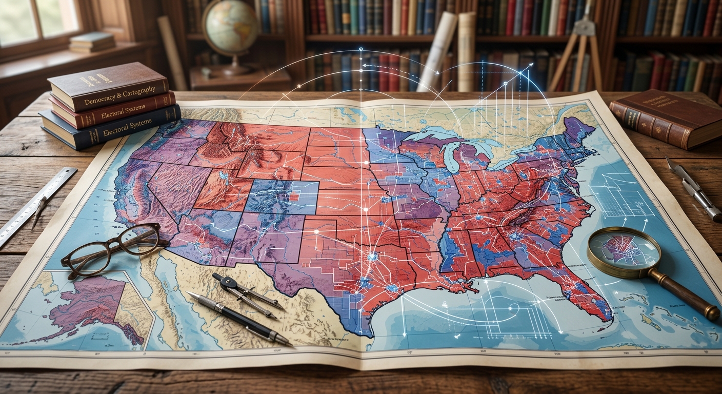
Every ten years, the United States undergoes a fundamental democratic transformation that happens largely behind closed doors, yet its consequences dictate the balance of political power for the subsequent decade. This transformation is the process of redrawing electoral maps, a civic mechanism designed to ensure equal representation in a growing and shifting population. However, the theoretical ideal of equitable map-drawing frequently collides with the harsh realities of partisan ambition and systemic disenfranchisement. Understanding the mechanics of how these boundaries are shaped, the tactics used to manipulate them, and the avenues for citizen intervention is essential for anyone committed to preserving the integrity of representative democracy.
The foundation of this decennial exercise is the national census. As population centers evolve—with cities expanding, rural areas contracting, and demographic makeups shifting—electoral districts must be rebalanced to maintain the constitutional principle of “one person, one vote.” If districts were left static, a district with one million residents would have the same legislative voting power as a district with only one hundred thousand, fundamentally diluting the political voice of the more populous region. Therefore, drawing new lines is not just a procedural necessity; it is a constitutional mandate intended to reflect the current reality of the American populace.
The Mechanics of Shaping Political Boundaries
To fully grasp how electoral boundaries influence political landscapes, one must first distinguish between two interconnected but distinct processes: reapportionment and redistricting. Following the decennial census, the federal government engages in reapportionment. This is the mathematical process of distributing the 435 seats in the United States House of Representatives among the 50 states based on their new population totals. States with significant population growth may gain seats, while those with stagnant or declining populations may lose them. Reapportionment merely decides how many representatives a state gets, but it says nothing about where those representatives will come from within the state.
Once the seats are apportioned, the complex task of redistricting begins. Redistricting is the actual, geographic drawing of district lines within a state. While congressional redistricting often garners the most media attention due to its impact on federal power dynamics, redistricting occurs at every level of government. State legislatures, county commissions, city councils, and even local school boards must redraw their boundaries to reflect demographic shifts. The rules governing how these lines are drawn vary wildly from jurisdiction to jurisdiction, creating a patchwork of standards across the country. Some states require districts to be compact and contiguous, while others prioritize keeping political subdivisions, like counties and towns, whole.
The data driving this process is highly localized. The U.S. Census Bureau delivers specific demographic and geographic datasets—often referred to as P.L. 94-171 data—to state officials. This data provides block-by-block details on population counts, voting-age demographics, and racial composition. In the hands of skilled mapmakers equipped with advanced geographic information system (GIS) software, this data is incredibly powerful. It allows map drawers to predict with startling accuracy how a specific neighborhood will vote, transforming map-drawing from a broad geographic exercise into a surgical political operation.
The Dark Art of Map Manipulation: Understanding Gerrymandering
When the process of drawing electoral lines is intentionally manipulated to favor a specific political party, incumbent, or demographic group, it crosses the line from redistricting into gerrymandering. The term itself is a portmanteau dating back to 1812, combining the name of Massachusetts Governor Elbridge Gerry with the word “salamander,” describing the bizarre, lizard-like shape of a district he approved to benefit his political party. Today, thanks to sophisticated algorithms and granular voter data, gerrymandering has evolved from a crude political trick into a highly exact science.
Those seeking to entrench their power utilize a variety of spatial tactics to manipulate electoral outcomes. These tactics are designed to ensure that the mapmaker’s preferred candidates win as many seats as possible, often completely disproportionate to the actual statewide vote share. The most prevalent strategies include:
- Packing: This tactic involves drawing district lines to cram as many opposing voters as possible into a single, overwhelming district. The opposition will win this packed district by a massive, unnecessary landslide (e.g., 85% of the vote). By isolating these voters into one district, their influence is removed from neighboring districts, making those surrounding areas safer for the mapmaker’s party.
- Cracking: The inverse of packing, cracking involves splitting groups of opposing voters across multiple districts so that they are consistently in the minority in each one. Instead of allowing a community to have a 60% majority in one district, the mapmaker splinters them so they constitute only 30% to 40% of the vote in three different districts, completely neutralizing their political power.
- Hijacking: This involves drawing the boundaries so that two opposing incumbents are placed into the same district. This forces them to run against each other in a primary, guaranteeing that one will be eliminated before the general election even begins.
- Kidnapping: Here, an incumbent’s home address is drawn out of their old district and placed into a new one where they lack name recognition, a donor base, and historical community ties, making their reelection campaign significantly more difficult.
The consequences of these tactics are profound. In heavily gerrymandered states, the outcome of the general election is often a foregone conclusion; the real contest happens in the primary. This discourages voter turnout, breeds political cynicism, and fuels extreme partisanship, as politicians in safe districts only need to worry about being outflanked by more radical elements within their own party, rather than appealing to the moderate center.
The Impact on Representation and Civil Rights
While partisan gerrymandering is a deeply controversial practice that distorts democracy, racial gerrymandering represents a direct assault on civil rights. Historically, map manipulation was a primary tool used to prevent Black Americans and other minority groups from electing candidates of their choice, effectively silencing their political voices even after they secured the legal right to vote. Recognizing this, the Voting Rights Act of 1965 (VRA) included vital provisions to protect minority voting power during the redistricting process.
Section 2 of the VRA prohibits any voting practice or procedure, including redistricting plans, that discriminates on the basis of race, color, or membership in a language minority group. In practical terms, this means that if a minority community is sufficiently large and geographically compact, mapmakers cannot “crack” or “pack” them in a way that dilutes their ability to elect their preferred representatives. In some cases, states are legally obligated to draw “majority-minority” districts to ensure compliance with federal civil rights laws.
However, the legal landscape surrounding voting rights has grown increasingly complex. In 2013, the Supreme Court’s ruling in Shelby County v. Holder dismantled the “preclearance” formula of the VRA, which had previously required jurisdictions with a history of racial discrimination to get federal approval before enacting new electoral maps. The removal of this safeguard has allowed discriminatory maps to be implemented immediately, forcing civil rights advocates to fight costly, protracted legal battles after the damage has already been done. Furthermore, while the courts have struck down maps for racial gerrymandering, the Supreme Court ruled in 2019 (Rucho v. Common Cause) that federal courts cannot intervene in cases of purely partisan gerrymandering, determining it to be a political question beyond their purview. This places the burden entirely on state courts and state constitutions to regulate partisan fairness.
Who Holds the Pen? The Varied Approaches to Drawing Lines
The central conflict in redistricting often boils down to a single question: who holds the pen? For the majority of American history, state legislatures have retained the power to draw both state and congressional districts. This inherently creates a massive conflict of interest, as politicians are essentially allowed to choose their own voters. When a single political party controls the governorship and both chambers of the state legislature, they have unchecked authority to implement a gerrymandered map.
In response to this conflict of interest, a growing reform movement has successfully advocated for transferring map-drawing authority away from self-interested politicians and handing it to Independent Redistricting Commissions (IRCs). These commissions are typically composed of ordinary citizens—often an equal mix of Democrats, Republicans, and unaffiliated voters—who are screened for conflicts of interest. Their mandate is to draw maps based on transparent criteria, such as compactness, contiguity, and respect for communities of interest, rather than partisan advantage.
Comparing Map-Drawing Authorities
| Authority Model | Who Draws the Maps? | Primary Advantage | Primary Vulnerability |
|---|---|---|---|
| State Legislature | Elected lawmakers, often acting with partisan majorities. | Maintains traditional legislative authority over state governance. | Extremely high risk of partisan manipulation and incumbent protection. |
| Advisory Commission | Appointed citizens or experts who propose maps to lawmakers. | Introduces public input and alternative map concepts. | Legislatures can legally ignore the commission’s proposals entirely. |
| Independent Commission (IRC) | Vetted citizens with strict conflict-of-interest prohibitions. | Removes direct partisan control and prioritizes fairness criteria. | Difficult to establish (often requires a ballot initiative) and subject to intense legal scrutiny. |
Empowering Voters: Strategies for Civic Engagement in Redistricting
While the process can seem opaque and deeply entrenched in political machinery, public participation has proven to be a powerful counterweight to manipulative map-drawing. The advent of accessible, user-friendly mapping software means that citizens no longer have to rely solely on politicians to see how lines could be drawn. Grassroots organizations and individual advocates can now draft their own legally compliant maps and present them during public hearings.
One of the most effective ways for citizens to influence the process is by advocating for their “Communities of Interest” (COI). A COI is a neighborhood, region, or demographic group that shares common policy concerns—such as economic interests, environmental hazards, cultural heritage, or shared infrastructure—that would benefit from being kept together in a single legislative district. By providing documented testimony about why their community needs cohesive representation, voters can establish a public record that forces mapmakers to justify their decisions if they attempt to split the community apart.
Demanding transparency is another crucial strategy. Citizens should pressure their representatives or commissions to hold open meetings, publish draft maps well in advance of a vote, and clearly explain the criteria they are using to make decisions. When the process is dragged out into the light of day, it becomes significantly harder for mapmakers to pass off egregious partisan gerrymanders as innocent geographic anomalies. Civic vigilance is the ultimate safeguard of equitable representation.
Frequently Asked Questions (FAQ)
How often are new electoral maps drawn?
Electoral maps are typically redrawn once every ten years, immediately following the release of the U.S. decennial census data. This ensures that districts reflect the most recent population shifts. However, maps can sometimes be redrawn mid-decade if a court strikes down an existing map due to legal violations, such as racial gerrymandering.
What is a “Community of Interest”?
A community of interest is a geographical area where residents share common social, cultural, economic, or policy concerns. Examples could include a historic cultural neighborhood, a farming region reliant on specific water rights, or an area clustered around a major industrial center. Keeping these communities together in one district helps ensure their unique needs are addressed by a single representative.
Is gerrymandering illegal?
The legality of gerrymandering depends on its nature. Racial gerrymandering—drawing lines to dilute the voting power of minority groups—is illegal under the federal Voting Rights Act and the U.S. Constitution. Partisan gerrymandering, however, is not regulated by federal courts due to a 2019 Supreme Court ruling. It is only illegal if it violates specific provisions within a state’s own constitution or laws.
Can ordinary citizens draw electoral maps?
Yes. Many states and advocacy groups now provide free, public mapping tools online. Citizens are encouraged to draw their own proposed maps or community boundaries and submit them to their state legislature or independent commission during public comment periods.
References
- Decennial Census P.L. 94-171 Redistricting Data — U.S. Census Bureau. 2021-08-12. https://www.census.gov/programs-surveys/decennial-census/about/rdo.html
- Redistricting Commissions: State Legislative Plans — National Conference of State Legislatures (NCSL). 2024-01-26. https://www.ncsl.org/redistricting-and-census/redistricting-commissions-state-legislative-plans
- Gerrymandering & Fair Representation: Redistricting — Brennan Center for Justice. 2023-11-15. https://www.brennancenter.org/issues/gerrymandering-fair-representation/redistricting
- Section 2 of the Voting Rights Act — U.S. Department of Justice. 2023-09-08. https://www.justice.gov/crt/section-2-voting-rights-act
Similar Articles







Read full bio of Sneha Tete